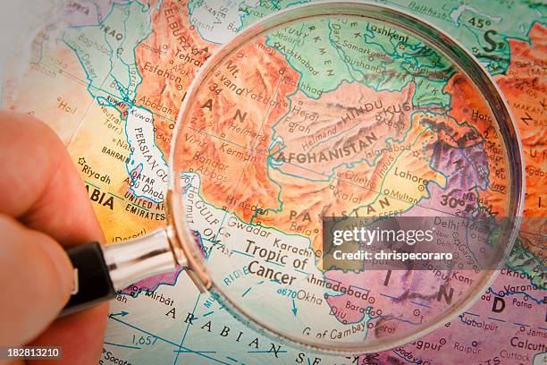
travel the globe series - afghanistan, pakistan - india pakistan border map stock pictures, royalty-free photos & images
Pakistani Army Brigadier Muhammad Yaqub points to the Indian Army bunker on a map October 20, 2001 in Chakoti along the Line of Control on the...
Indian Border Security Force Director General Raman Srivastava points to a map of the Sir Creek of Kutch district of Gujarat near Pakistan border...
Pakistan army officer Lieutenant Colonel Iftakhar Khan, commandant of Chakothi sector close to line of Control, de facto border between Pakistan and...
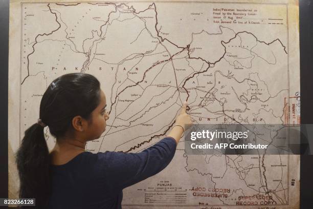
This photo taken on June 14, 2017 shows an Indian woman looking at a map of the India-Pakistan boundaries as fixed by the boundary commission on...
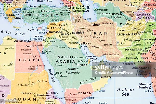
middle east, persian gulf and pakistan/afganistan region map - iii - india pakistan border map stock pictures, royalty-free photos & images
jammu and kashmir and ladakh map in retro vintage style - old textured paper - india pakistan border map stock illustrations
gilgit baltistan map in retro vintage style - old textured paper - india pakistan border map stock illustrations
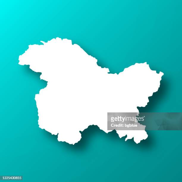
jammu and kashmir and ladakh map with long shadow on textured yellow background - india pakistan border map stock illustrations
kashmir map in retro vintage style - old textured paper - india pakistan border map stock illustrations
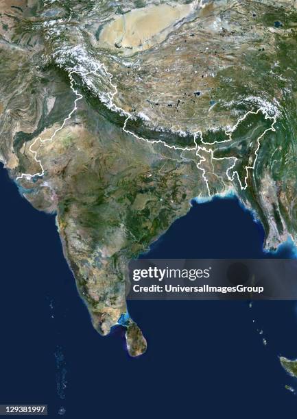
India, true colour satellite image with border. This image shows the Indian subcontinent, bordered by Pakistan to the northwest and China and Nepal...
Indian army soldiers display a seized Pakistani topography map recovered from militants it says were killed on June 02, 2013 in the border area of...
Kashmiri Hindu activists hold up a map of the Indo-Pakistan border during a demonstration near the Pakistani High Commission 01 June 1999. The...
jammu and kashmir and ladakh map in blue dots on white background - india pakistan border map stock illustrations
jammu and kashmir and ladakh 3d map on gray background - india pakistan border map stock illustrations
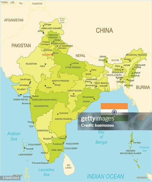
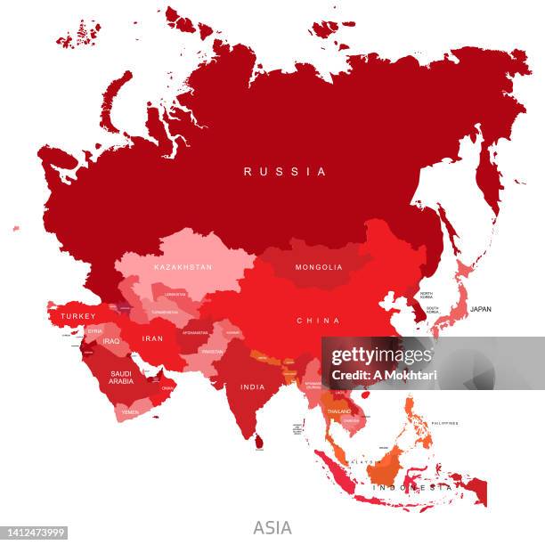
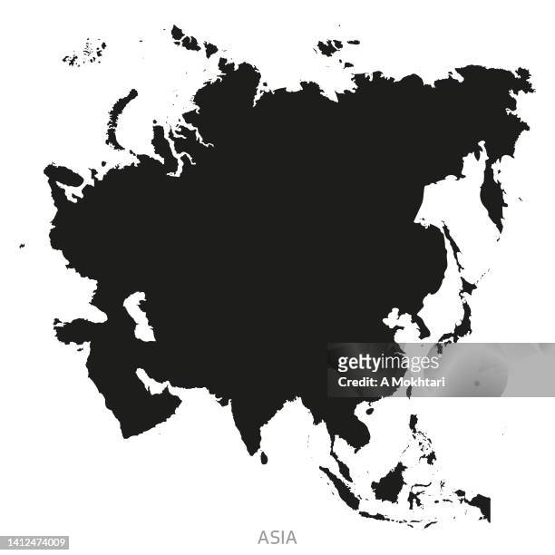
map of asia with details and the name of each country. - india pakistan border map stock illustrations
middle east, persian gulf and pakistan/afganistan region map - i - india pakistan border map stock pictures, royalty-free photos & images
India, true colour satellite image with mask and border. This image shows the Indian subcontinent, bordered by Pakistan to the northwest and China...
jammu and kashmir and ladakh maps for design. easily editable - india pakistan border map stock illustrations
kashmir map network - bright mesh on dark blue background - india pakistan border map stock illustrations
Farida Bibi, a migrant from the border, shows a Pakistani bullet fired across the border, in a refugee camp in Deoli, some 40 kms west of Jammu 08...
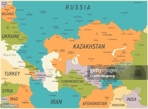
caucasus and central asia map. vector illustration with kazakhstan, georgia, turkey and russia geographical borders - india pakistan border map stock illustrations
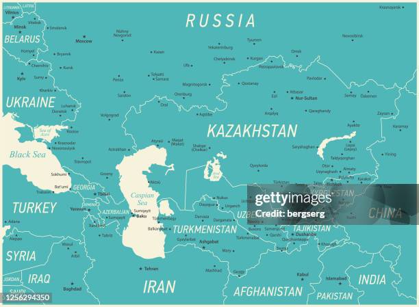
caucasus and central asia vector map. vintage illustration with sea, lakes, rivers and geographical borders - india pakistan border map stock illustrations
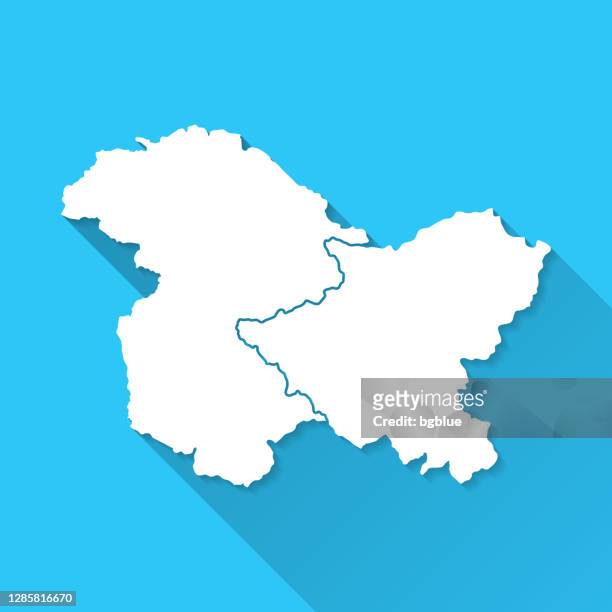
jammu and kashmir and ladakh map with long shadow on blue background - flat design - india pakistan border map stock illustrations
Map of the Tirah Campaign', circa 1900. The Tirah expedition was an Indian frontier campaign from September 1897 to April 1898. Tirah is a...
gilgit baltistan map - white paper cut out on blue background - india pakistan border map stock illustrations
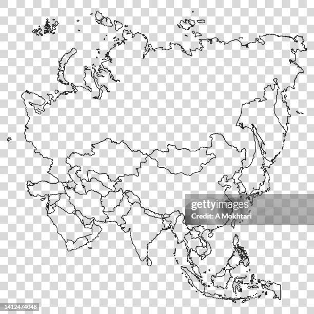
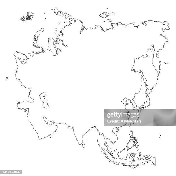
asia map with outline is details on a transparent background. - india pakistan border map stock illustrations
map of asia with details and the name of each country. - india pakistan border map stock illustrations
India Pakistan War, 2nd December 1971, Pakistan army soldiers study a map at Burinda, the Jessore area of East Pakistan- a few miles from the Indian...
In this photograph taken on May 24 an Indian resident reads a censored issue of the Economist magazine at a road-side stall in New Delhi. Anyone...
high detailed afghanistan blue map with regions and national borders - india pakistan border map stock illustrations
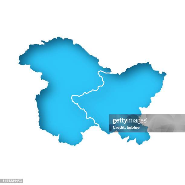
jammu and kashmir and ladakh map - white paper cut out on blue background - india pakistan border map stock illustrations
gilgit baltistan map icon - flat design with long shadow - india pakistan border map stock illustrations
jammu and kashmir and ladakh map sticker on gray background - india pakistan border map stock illustrations
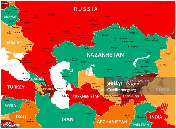
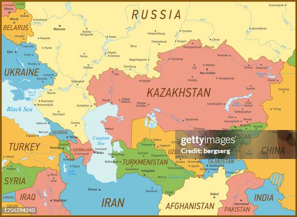
caucasus and central asia vector map. vector high detailed map with russia, kazakhstan, georgia, turkey and turkmenistan borders - india pakistan border map stock illustrations
caucasus and central asia map. vector illustration with kazakhstan, uzbekistan, georgia, turkey and russia geographical borders - india pakistan border map stock illustrations
caucasus and central asia vector map. vintage illustration with sea, lakes, rivers and geographical borders - india pakistan border map stock illustrations
jammu and kashmir and ladakh map on financial graph with red downtrend line - india pakistan border map stock illustrations
jammu and kashmir and ladakh map network - bright mesh on dark blue background - india pakistan border map stock illustrations
falling red arrow with the jammu and kashmir and ladakh map on the background - india pakistan border map stock illustrations
Pakistani Army Brigadier Muhammad Yaqub uses a map to show Indian Army bunkers October 20, 2001 in Chakoti along the Line of Control on the...
Indian women participate in a rowing competition as a part of Independence Day celebrations in Majhdia village of Nadia district, east of...
An Indian villager carries the national flag during Independence Day celebrations in Majhdia village of Nadia district, east of Krishnanagar in West...