World Map 3D Render Topographic Map Color - stock photo
3D Render of a Topographic World Map.
Made with Natural Earth. URL of source data: http://www.naturalearthdata.com
Relief texture SRTM data courtesy of NASA. URL of source image: http://reverb.echo.nasa.gov
The source data is in the public domain.

Get this image in a variety of framing options at Photos.com.
PURCHASE A LICENCE
All Royalty-Free licences include global use rights, comprehensive protection, and simple pricing with volume discounts available
$500.00
+GST NZD
Getty ImagesWorld Map 3d Render Topographic Map Color High-Res Stock Photo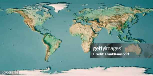 Download premium, authentic World Map 3D Render Topographic Map Color stock photos from Getty Images. Explore similar high-resolution stock photos in our expansive visual catalogue.Product #:1092095756
Download premium, authentic World Map 3D Render Topographic Map Color stock photos from Getty Images. Explore similar high-resolution stock photos in our expansive visual catalogue.Product #:1092095756$500+GST$50+GST
Getty Images
In stockDETAILS
Credit:
Creative #:
1092095756
Licence type:
Collection:
E+
Max file size:
7980 x 3965 px (67.56 x 33.57 cm) - 300 dpi - 25 MB
Upload date:
Location:
Germany
Release info:
No release required
Categories:
- World Map,
- Map,
- Continent - Geographic Area,
- Asia,
- Africa,
- Europe,
- Mountain,
- Topographic Map,
- Three Dimensional,
- Sea,
- Topography,
- Landscape - Scenery,
- Satellite View,
- Antarctica,
- Greenland,
- Physical Geography,
- South America,
- Aerial View,
- Cartography,
- Atlantic Ocean,
- Australia,
- Indian Ocean,
- North America,
- Design,
- Pacific Ocean,
- Panoramic,
- Digitally Generated Image,
- Illustration,
- Colour Image,
- Computer Graphic,
- Digital Composite,
- Germany,
- Horizontal,
- No People,
- Overhead View,
- Water,