South Korea Vector Map Regions Isolated - stock illustration
"Detailed vector map of South Korea with administrative divisions. File was created on November 26, 2012. The colors in the .eps-file are ready for print (CMYK). Included files: EPS (v8) and Hi-Res JPG (5241aa aaa 5600 px)."

Get this image in a variety of framing options at Photos.com.
PURCHASE A LICENCE
All Royalty-Free licences include global use rights, comprehensive protection, and simple pricing with volume discounts available
$500.00
+GST NZD
Getty ImagesSouth Korea Vector Map Regions Isolated High-Res Vector Graphic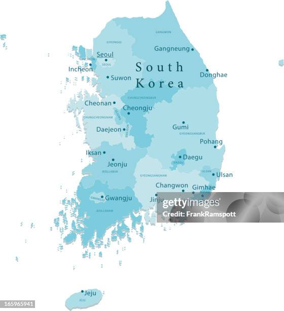 Download premium, authentic South Korea Vector Map Regions Isolated stock illustrations from Getty Images. Explore similar high-resolution stock illustrations in our expansive visual catalogue.Product #:165965941
Download premium, authentic South Korea Vector Map Regions Isolated stock illustrations from Getty Images. Explore similar high-resolution stock illustrations in our expansive visual catalogue.Product #:165965941$500+GST$50+GST
Getty Images
In stockDETAILS
Credit:
Creative #:
165965941
Licence type:
Collection:
DigitalVision Vectors
Max file size:
3899 x 4262 px (54.12 x 59.16 cm) - 183 dpi - 6 MB
Upload date:
Release info:
Model and property released
Categories:
- Map,
- South Korea,
- Korea,
- Jeju Island,
- Daegu,
- Busan,
- Cartography,
- Vector,
- Asia,
- Blue,
- Clip Art,
- Colour Image,
- Computer Graphic,
- Country Map,
- Daejeon,
- Digitally Generated Image,
- East Asia,
- Gwangju,
- Illustration,
- Incheon,
- No People,
- Non-Urban Scene,
- Plain Background,
- Seoul,
- Suwon,
- Ulsan,
- Vertical,
- View Into Land,
- White Background,