Iowa Vector Map - stock illustration
"Highly detailed vector map of Iowa, United States. File was created on January 16, 2013. The colors in the .eps-file are ready for print (CMYK). Included files: EPS (v8) and Hi-Res JPG (5600aa aaa 5600 px)."

Get this image in a variety of framing options at Photos.com.
PURCHASE A LICENCE
All Royalty-Free licences include global use rights, comprehensive protection, and simple pricing with volume discounts available
$500.00
+GST NZD
Getty ImagesIowa Vector Map High-Res Vector Graphic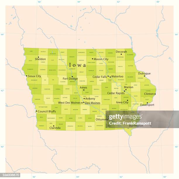 Download premium, authentic Iowa Vector Map stock illustrations from Getty Images. Explore similar high-resolution stock illustrations in our expansive visual catalogue.Product #:166008870
Download premium, authentic Iowa Vector Map stock illustrations from Getty Images. Explore similar high-resolution stock illustrations in our expansive visual catalogue.Product #:166008870$500+GST$50+GST
Getty Images
In stockDETAILS
Credit:
Creative #:
166008870
Licence type:
Collection:
DigitalVision Vectors
Max file size:
4077 x 4079 px (69.50 x 69.53 cm) - 149 dpi - 6 MB
Upload date:
Release info:
Model and property released
Categories:
- Iowa,
- Map,
- Blue,
- Cartography,
- Cedar Rapids,
- Clip Art,
- Colour Image,
- Computer Graphic,
- Council Bluffs,
- Davenport - Iowa,
- Des Moines,
- Des Moines River,
- Digitally Generated Image,
- Green Colour,
- Illustration,
- Iowa City,
- Lake,
- Latitude,
- Longitude,
- Midwest USA,
- No People,
- Non-Urban Scene,
- Physical Geography,
- River,
- Satellite View,
- Sioux City,
- Square - Composition,
- USA,
- Vector,
- View Into Land,
- Waterloo - Iowa,