Antique Map of the San Juan Islands - 19th Century - stock illustration
Vintage map of the San Juan Islands. The area has been disputed since the 1850s, in the 21st century the area was finally recognized as the Salish Sea. Vintage etching circa late 19th century.

Get this image in a variety of framing options at Photos.com.
PURCHASE A LICENCE
All Royalty-Free licences include global use rights, comprehensive protection, and simple pricing with volume discounts available
$500.00
+GST NZD
Getty ImagesAntique Map Of The San Juan Islands 19th Century High-Res Vector Graphic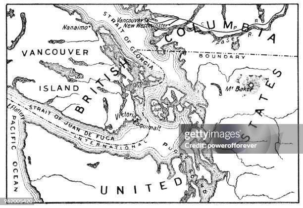 Download premium, authentic Antique Map of the San Juan Islands - 19th Century stock illustrations from Getty Images. Explore similar high-resolution stock illustrations in our expansive visual catalogue.Product #:962005420
Download premium, authentic Antique Map of the San Juan Islands - 19th Century stock illustrations from Getty Images. Explore similar high-resolution stock illustrations in our expansive visual catalogue.Product #:962005420$500+GST$50+GST
Getty Images
In stockDETAILS
Credit:
Creative #:
962005420
Licence type:
Collection:
DigitalVision Vectors
Max file size:
7440 x 5121 px (62.99 x 43.36 cm) - 300 dpi - 7 MB
Upload date:
Location:
Canada
Release info:
Property released
Categories:
- Map,
- Puget Sound,
- Black And White,
- Salish Sea,
- Illustration,
- Pacific Northwest Region,
- Strait Of Georgia,
- 19th Century,
- Antique,
- Archival,
- Boundary,
- British Columbia,
- Canada,
- Canadian Culture,
- Country - Geographic Area,
- Document,
- Historical Geopolitical Location,
- History,
- Horizontal,
- Information Medium,
- Juan De Fuca Strait,
- Land,
- National Border,
- Old,
- Old-fashioned,
- Text,
- Topography,
- USA,
- Vancouver - Canada,
- Victoria - Canada,
- Western Script,