Alabama Map - stock illustration
A detailed map of Alabama state with cities, roads, major rivers, and lakes plus National Forests. Includes neighboring states and surrounding water.

Get this image in a variety of framing options at Photos.com.
PURCHASE A LICENCE
All Royalty-Free licences include global use rights, comprehensive protection, and simple pricing with volume discounts available
$500.00
+GST NZD
Getty ImagesAlabama Map High-Res Vector Graphic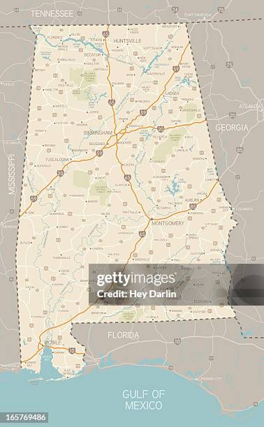 Download premium, authentic Alabama Map stock illustrations from Getty Images. Explore similar high-resolution stock illustrations in our expansive visual catalogue.Product #:165769486
Download premium, authentic Alabama Map stock illustrations from Getty Images. Explore similar high-resolution stock illustrations in our expansive visual catalogue.Product #:165769486$500+GST$50+GST
Getty Images
In stockDETAILS
Credit:
Creative #:
165769486
Licence type:
Collection:
DigitalVision Vectors
Max file size:
3220 x 5219 px (76.44 x 123.89 cm) - 107 dpi - 7 MB
Upload date:
Release info:
No release required
Categories:
- Alabama - US State,
- Map,
- Road Map,
- Muscle Shoals,
- Huntsville - Alabama,
- Montgomery - Alabama,
- Auburn - Alabama,
- Mobile - Alabama,
- Athens - Georgia,
- Birmingham,
- Cartography,
- Dauphin Island,
- Gulf Coast States,
- Gulf Shores,
- Gulf of Mexico,
- Illustration,
- Lake Martin,
- Major Road,
- Mobile Bay,
- No People,
- Road,
- Selma - Alabama,
- Talladega,
- Transportation,
- Troy - Alabama,
- Tuscaloosa,
- USA,
- Vector,